ENZO HOME  -  HOME


VIDEO 

GLYNNEATH CONTAMINATION 

How the Neath-Port Talbot Council breached the

1990 Environmental Protection Act

https://youtu.be/OcqDYTulk8s

INTRO

  61-cover-up.jpg (348845 bytes)

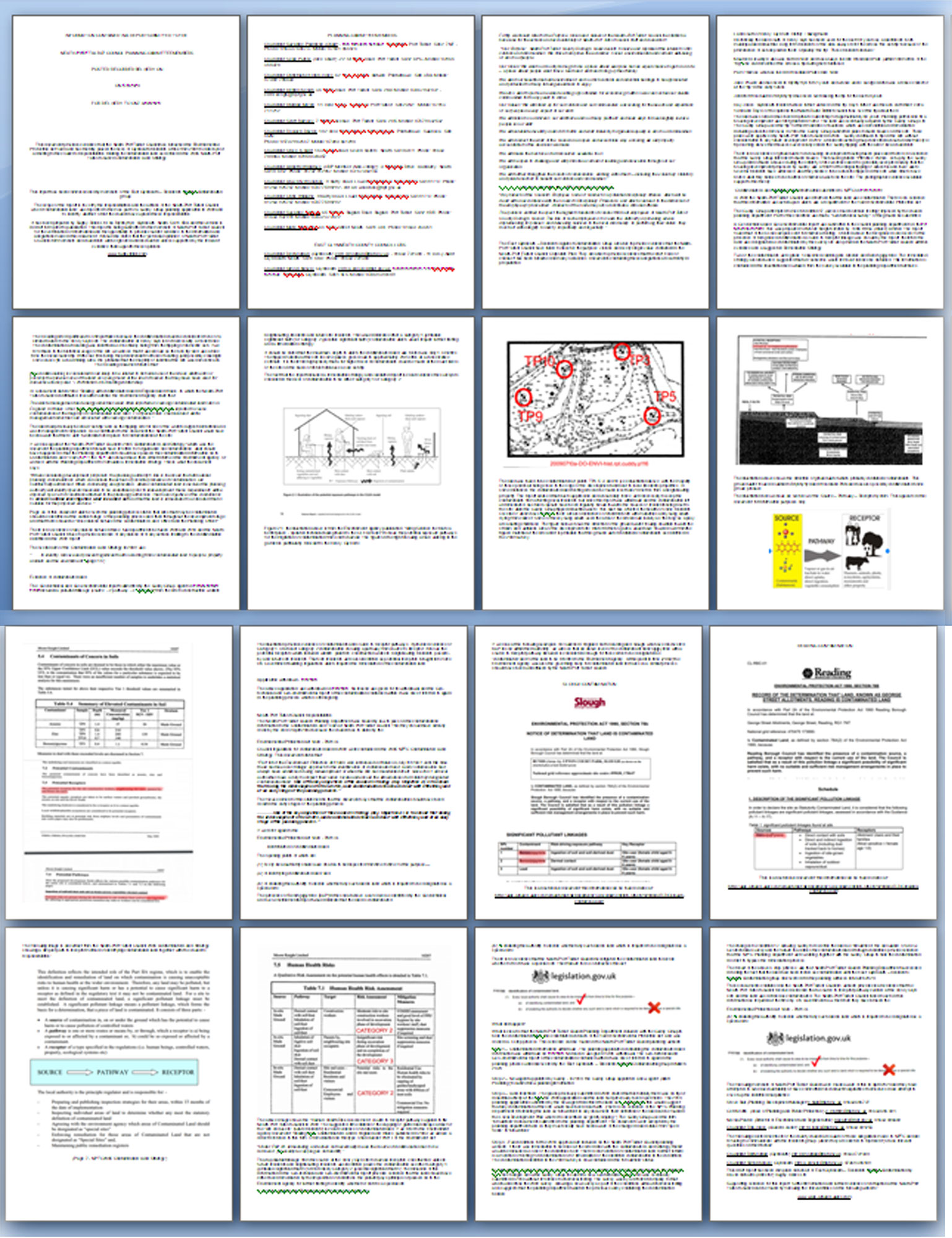
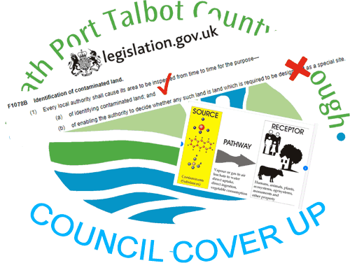
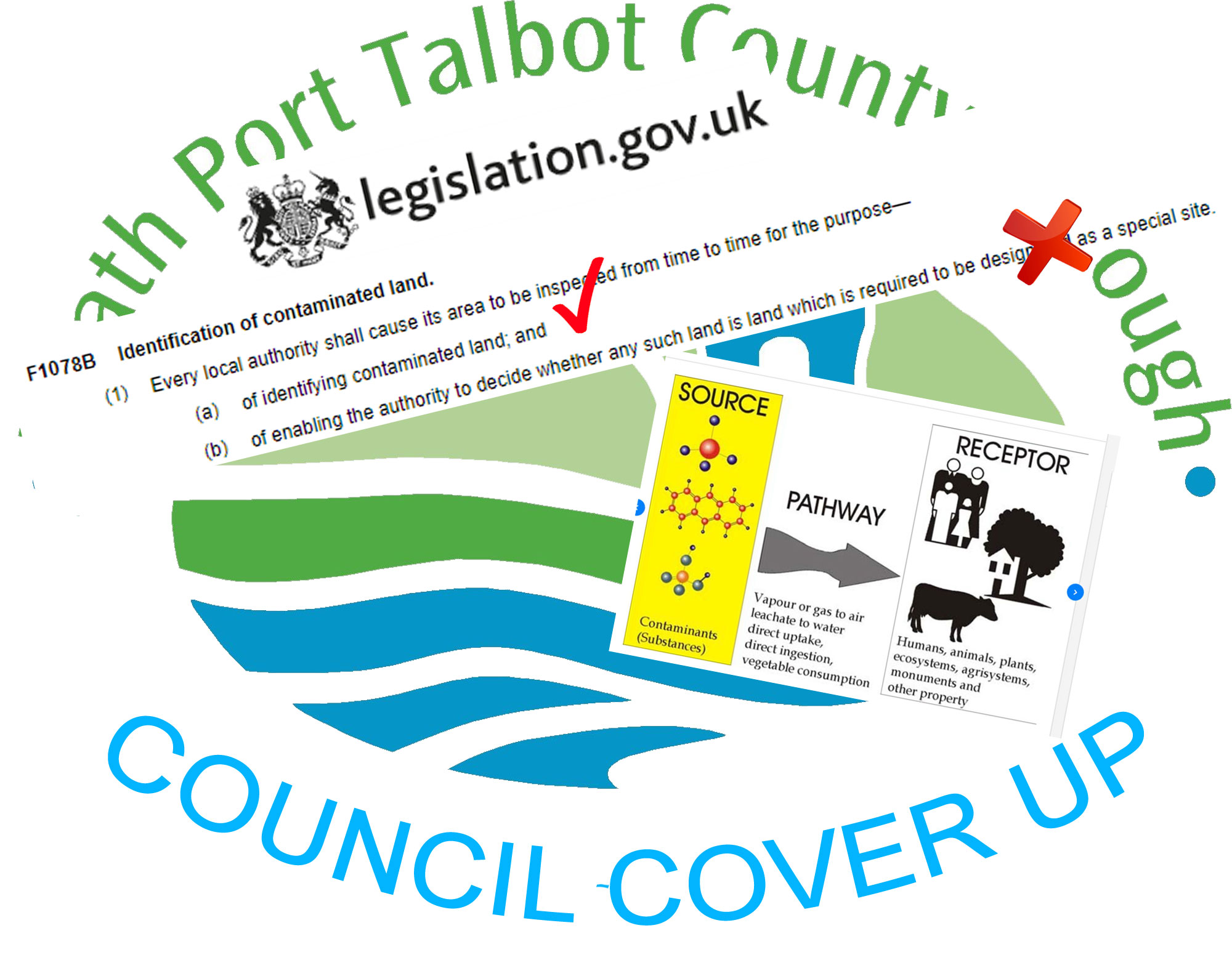
GLYNNEATH CONTAMINATION - NEATH-PORT TALBOT COUNCIL COVER-UP  

This video shows how the Neath Port Talbot Council breached the 1990 Environmental Protection Act and placed the health and lives of the residents of the following Glynneath streets at risk from untreated contaminated land:

Waun Gron,  Brynhyfryd, Woodland Park, & Heol y Glyn and Inter Valley Road (A4109) 

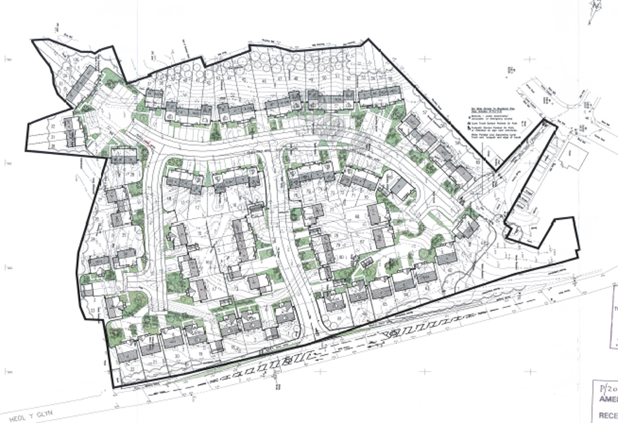
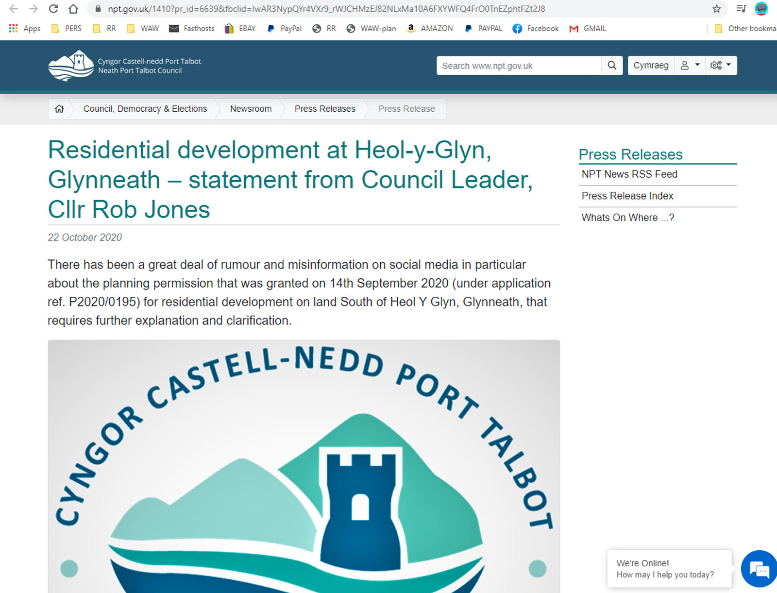
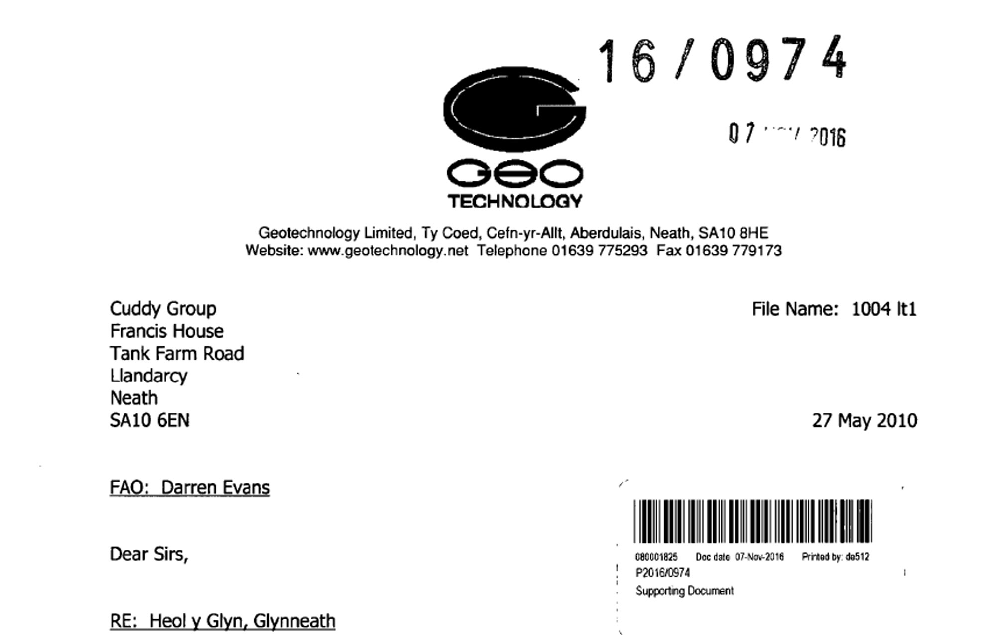
    This is a housing development site in Glynneath. 

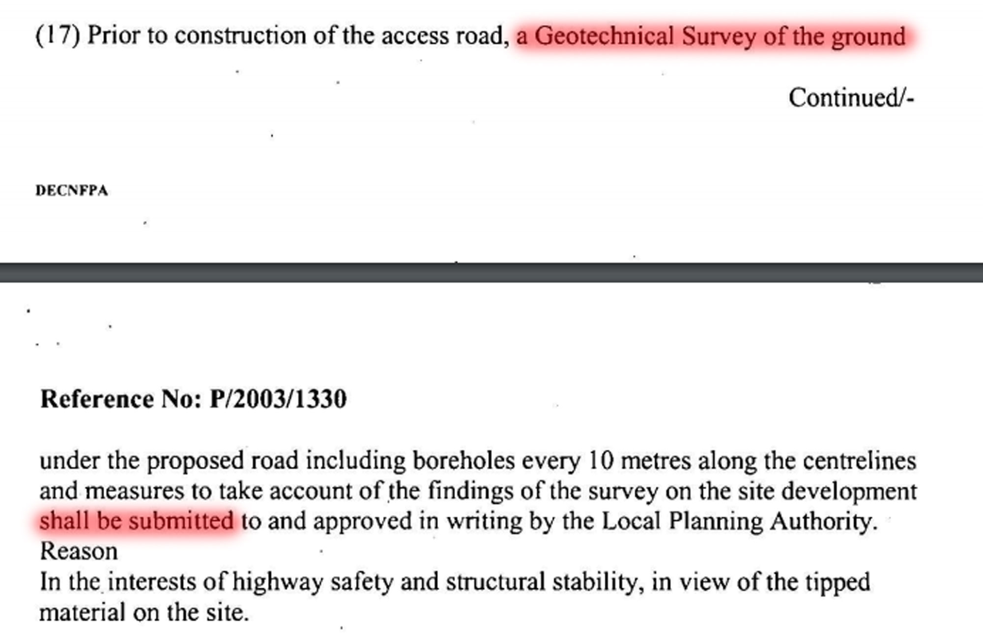
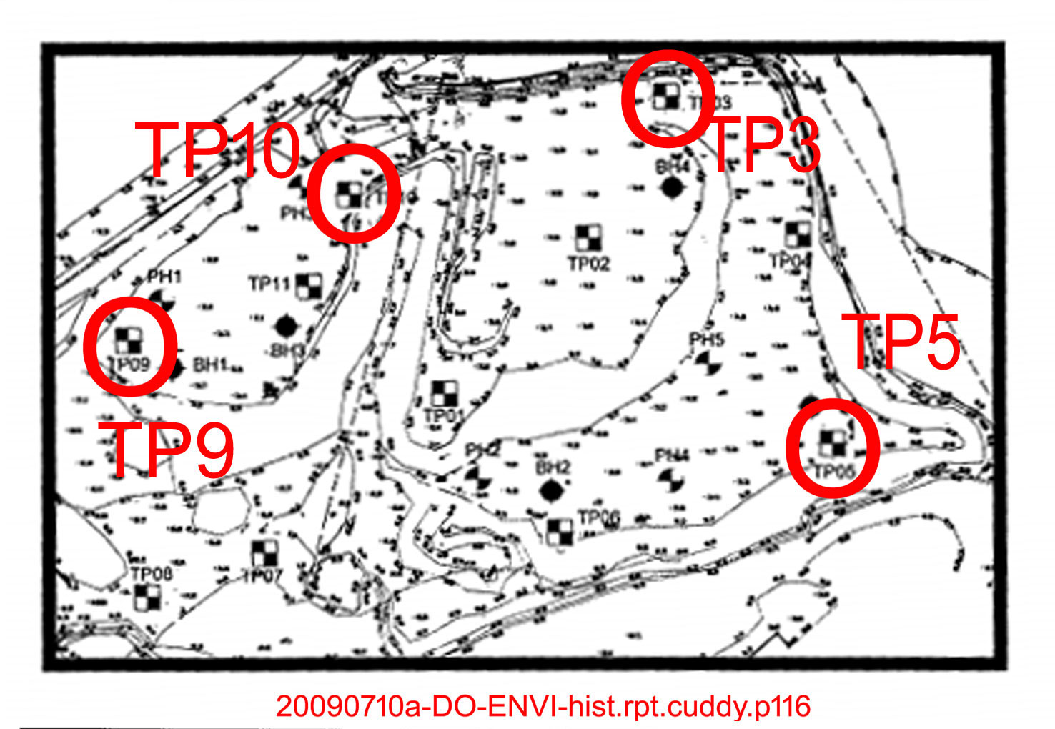
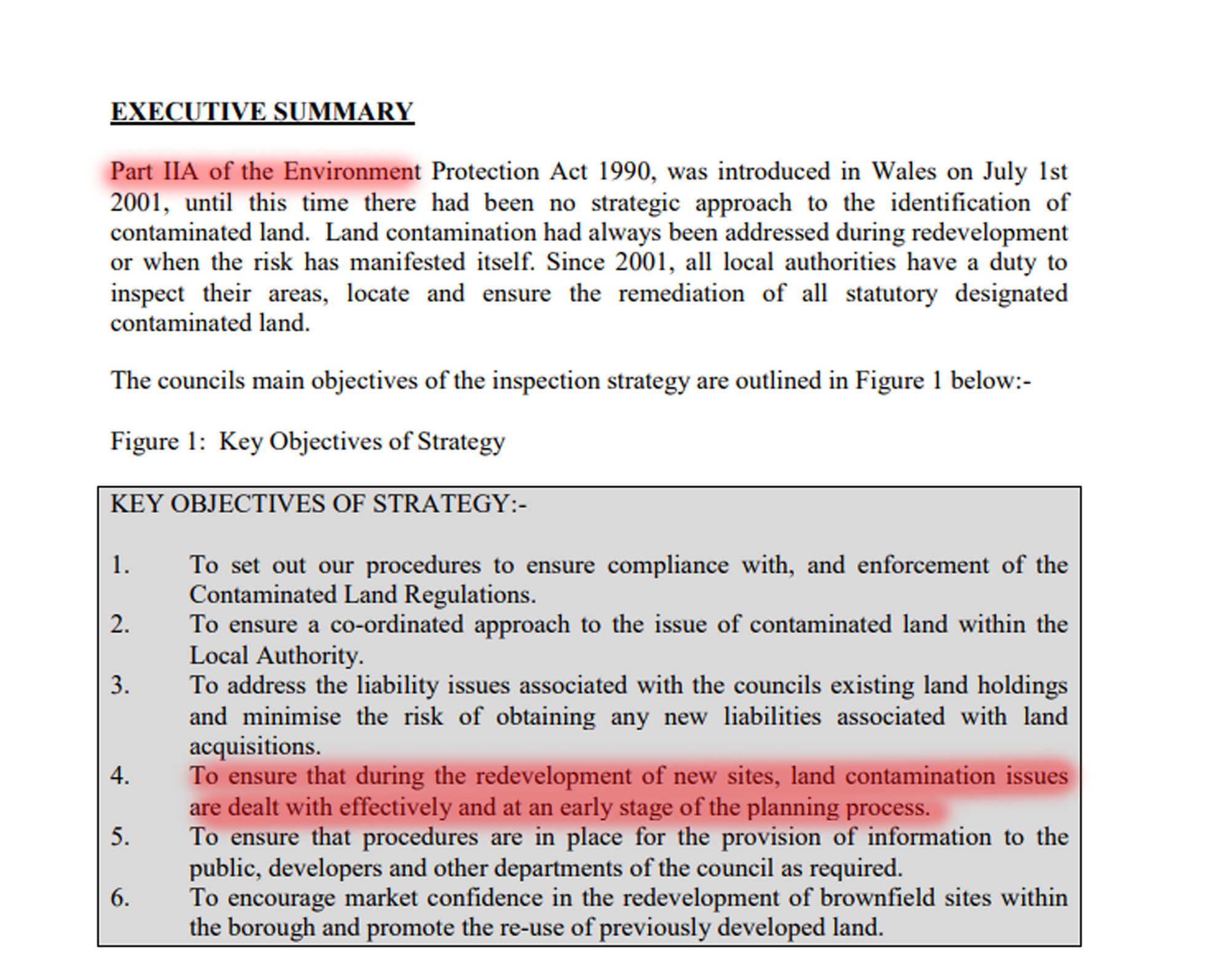
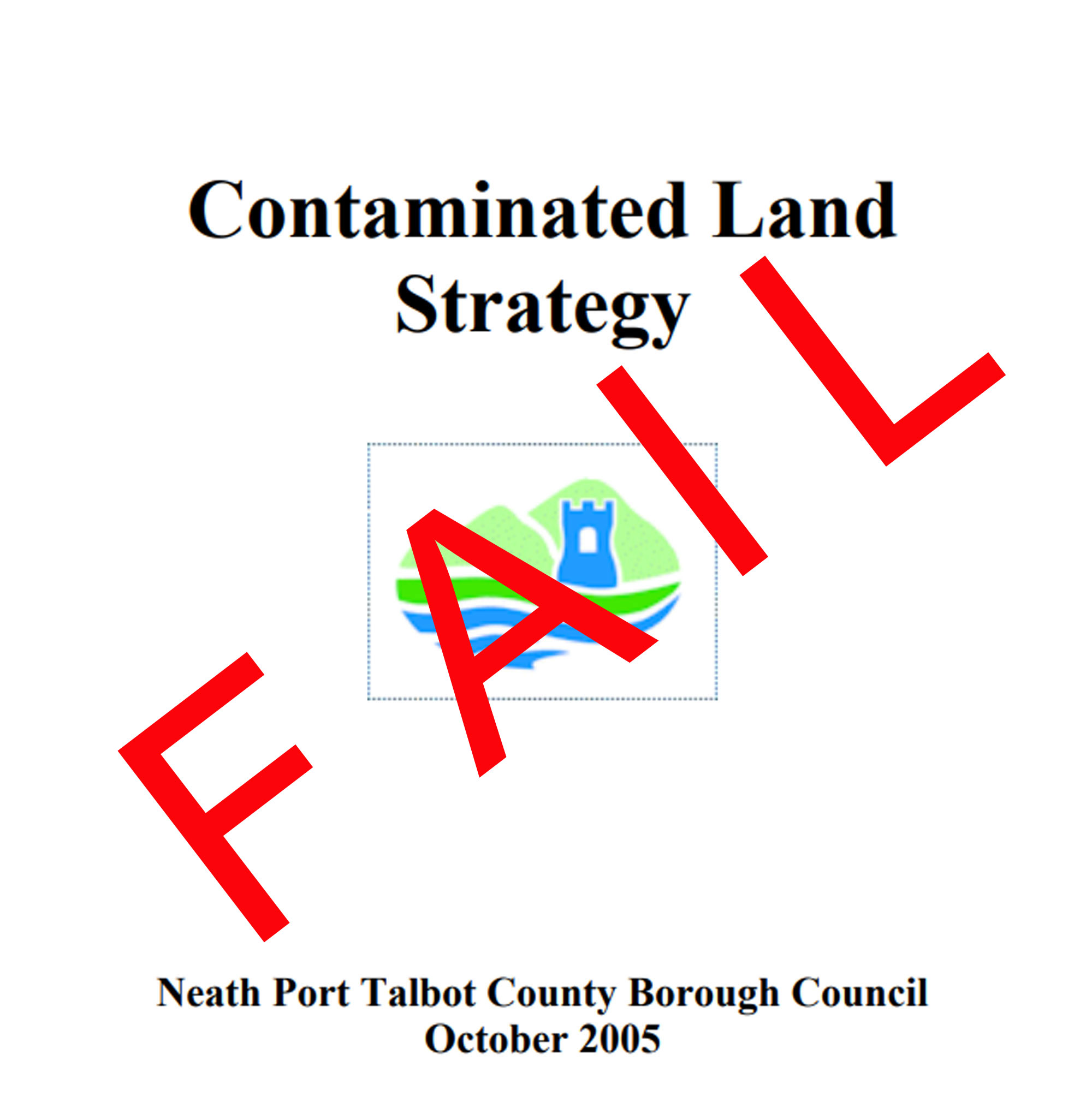
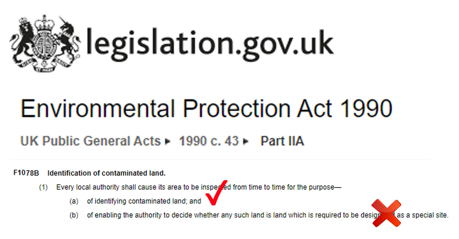
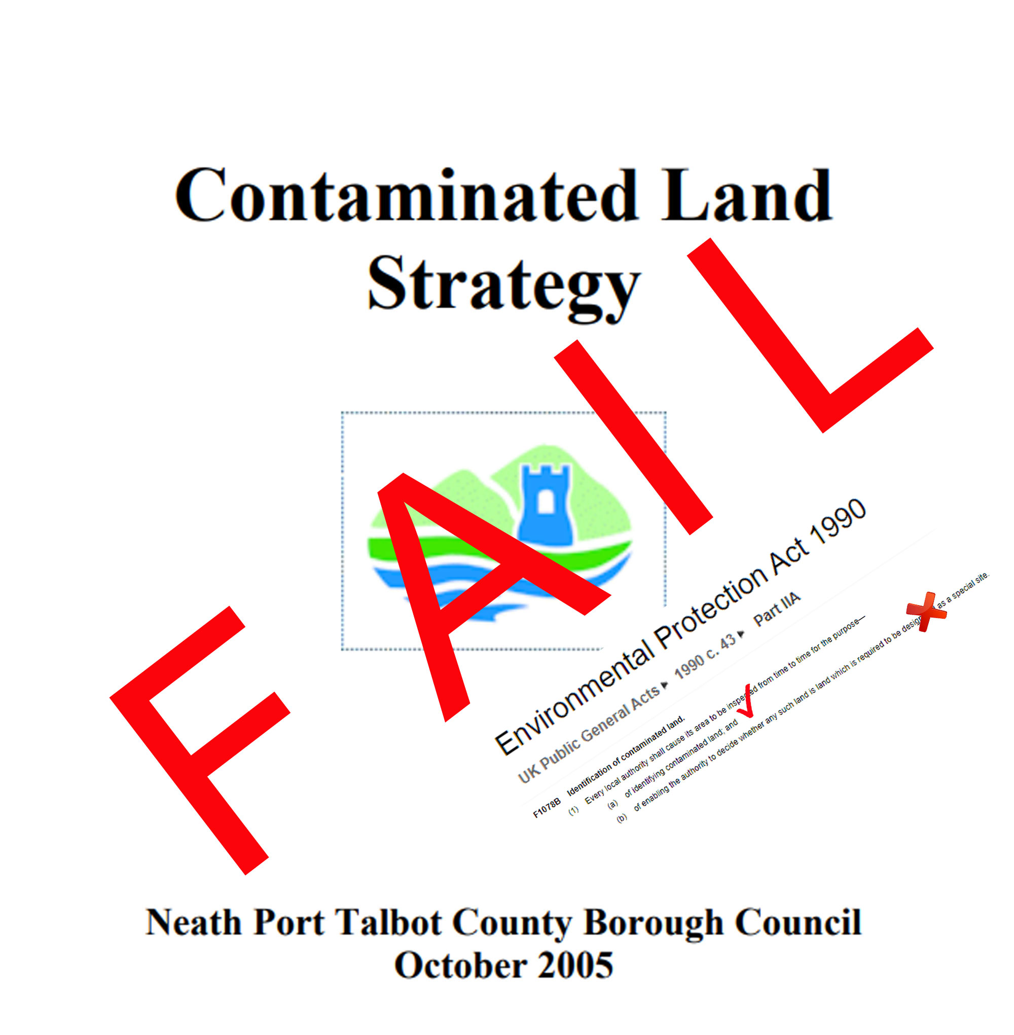
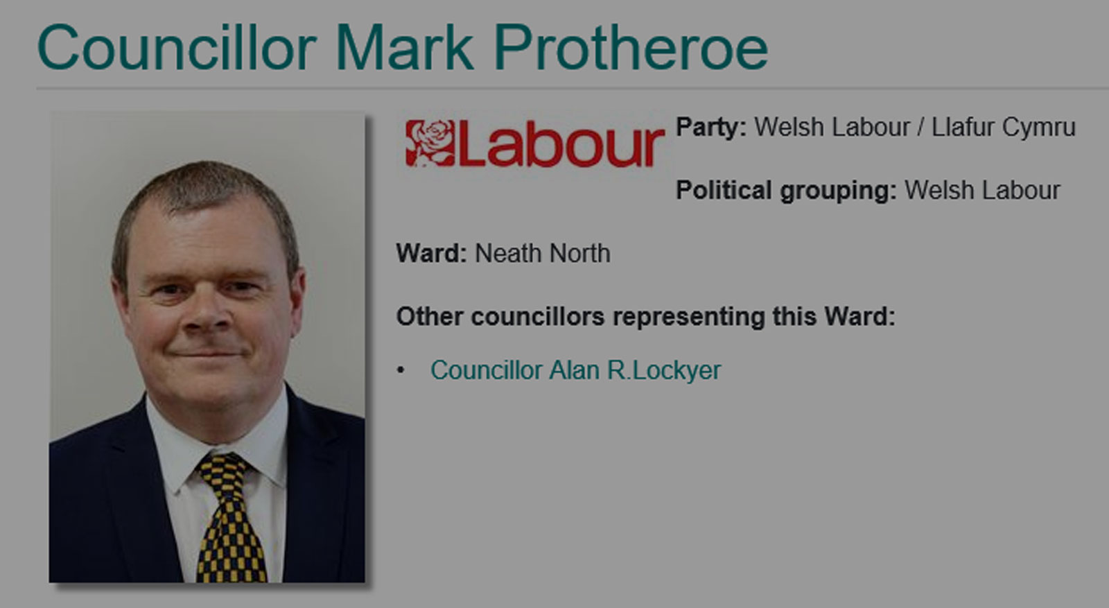
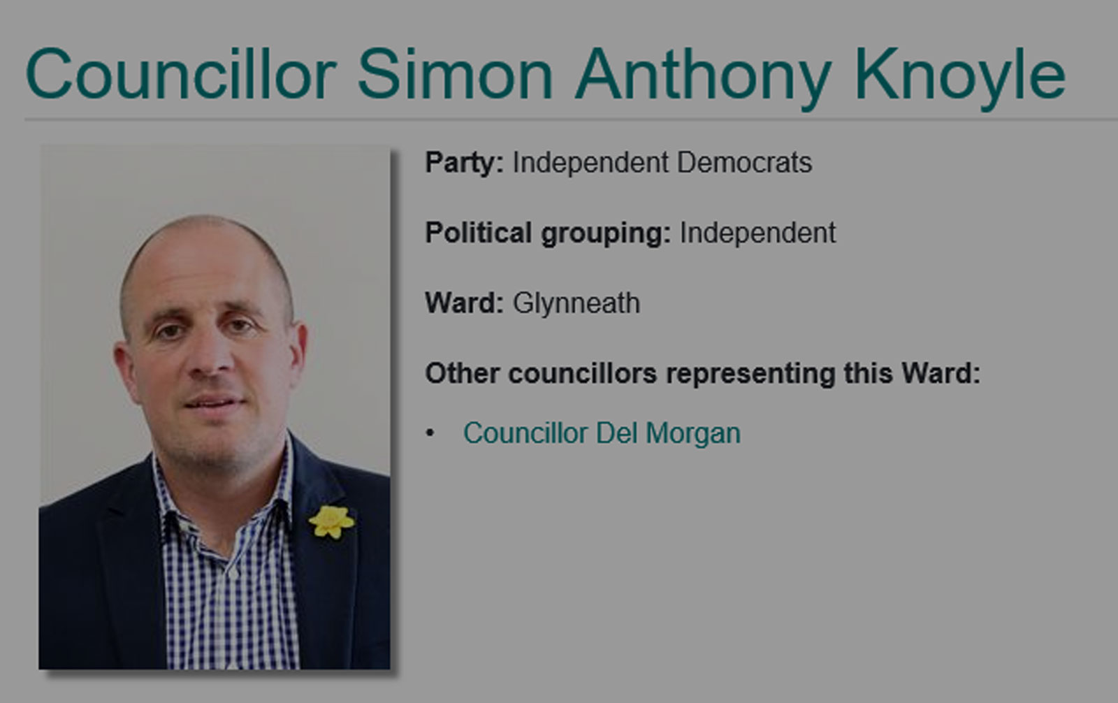
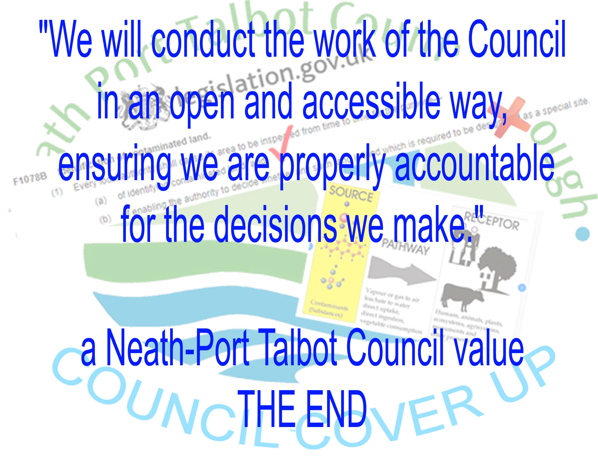
In this video we will see how Neath-Port Talbot Council Planning Department malpractice has placed the health and the lives of the neighbouring residents at risk for the last 10 years. 

We will see which elected members of the council are covering up this malpractice and are refusing to observe its purpose which is............

The Neath Port Talbot Council exists to serve and represent the interests of its citizens and communities. We strive to improve the economic, social, environmental and cultural well-being of all of our people.

We will see how Neath-Port Talbot Council have breached the 1990 Environmental Protection Act by failing to follow the Contaminated Land Strategy which is based upon the requirements of this act. 


CONTAMINATION IDENTIFIED

52-ccu-logo-text-1.jpg (255936 bytes)

  62.jpg (379454 bytes) In 2005 Neath-Port Talbot Council Planning Committee approved planning permission for a development at Heol y Glyn in Glynneath.

They placed a list conditions on the planning permission which the developer had to meet in order for them to complete the development..

  91-cond-17.jpg (168058 bytes)

condition 17 image

One of these conditions was that a "Geotechnical Survey" of the ground be submitted . 

  90-survey.jpg (127721 bytes)

front cover

The Geo-technical Survey was submitted to the planning department at Neath-Port Talbot Council on 26 November 2008. 

  89-contam.jpg (117312 bytes)

62.jpg (219657 bytes)

contamination evidence

The report found that of the 6 soil samples that were sent for chemical testing, 4 tested above the required safety levels for the presence of a recognised contaminant.

  88-arsenic.jpg (279356 bytes)

arsenic slide

Three contaminants were identified above the safe level. 

Two of these contaminants were grade 1 classified carcinogens. 

Arsenic

  87-bap.jpg (310158 bytes)

BaP slide

and a polycyclic aromatic hydrocarbon called 

Benzo[a]pyrene.

  96-human-health-7-1-risk-as.gif (510303 bytes)

human health assessment

The Geo-technical report provided evidence that the land should be remediated, that is, cleaned up because of the danger to human health.
  86.jpg (314618 bytes)

remediation strategy and valid report

The report also included a Remediation Strategy. A clean up operation to protect the site end users,  the new home owners from the contamination.
  00y.jpg (100841 bytes) What identifies land as contaminated in the eyes of the UK and Welsh Governments is the identification of a source to receptor pathway and the significant possibility of harm to human health. 
  80-2000.jpg (204999 bytes)

source to receptor illustration

The report provided evidence of a source to receptor pathway and so identified the significant possibility of harm to human health. 

This being the case, the land then required further investigation and/or remediation by UK law. This law is the 

Environmental Protection Act 1990


WHAT SHOULD HAVE HAPPENED? 

51-ccu-logo-text-3-lines.jpg (265402 bytes)

  85.jpg (164681 bytes) WHAT SHOULD HAVE HAPPENED?

The Neath-Port Talbot Council's responsibilities at this point in time were contained in the Contaminated Land Strategy. 

If we look at the Executive Summary of the Contaminated Land Strategy we will see that it immediately aligns itself with Part IIA of the 1990 Environmental Protection Act and then bases it's contaminated land processes on this Act. 


80-cls-exec-sum.jpg (202064 bytes)

The Executive summary of this document states:

EXECUTIVE SUMMARY

"Part IIA of the Environment Protection Act 1990, was introduced in Wales on July 1st 2001, until this time there had been no strategic approach to the identification of contaminated land. Land contamination had always been addressed during redevelopment or when the risk has manifested itself. Since 2001, all local authorities have a duty to inspect their areas, locate and ensure the remediation of all statutory designated contaminated land.

END OF EXECUTIVE SUMMARY
 

84.jpg (431147 bytes)

83.jpg (259614 bytes)

82.jpg (61260 bytes)

fading in to 82

"One of the key objectives of the council's Contaminated Land Strategy (Key Objective 4:) is to ensure that during the redevelopment of new sites, land contamination issues are dealt with effectively and at an early stage of the planning process."
  87-bap.jpg (310158 bytes)

88-arsenic.jpg (279356 bytes)  

80-2000.jpg (204999 bytes)

The land was identified as contaminated and so the Planning Department should have then passed on this information to the Contaminated Land Officer. There is no evidence of either department having undertaken any actions relating to the contamination.


WHAT DID HAPPEN?

50-ccu-logo-text-3-lines.jpg (231439 bytes)

  89.jpg (183414 bytes)

WHAT DID HAPPEN?

The application containing the Geo-Technical survey with the contamination information was withdrawn on 2 April 2009.

No reason was given for its withdrawal and the Geo-technical Survey or contamination contained within it were never referred to again during the planning process.


  78-cls-2005-p15.jpg (215021 bytes) If we refer to the Contaminated Land Strategy document on page 15 it states:

The main objective of the conditions is to ensure suitable investigation work is carried out and that the land is remediated to a standard that is suitable for the proposed end use."

If the contamination was to be dealt with, we would find it in the next set of conditions approved for the development.

  92-approval.jpg (265698 bytes) The next set of plans were approved on 23 April 2010. The conditions did not mention contamination or chemical testing and there is no record of any remediation on the site. 
  94.jpg (210973 bytes)

Neath-Port Talbot Council have clearly ignored the 2008 contamination report.

Therefore, Neath-Port Talbot Council have failed to follow their Contaminated Land Strategy.


Contaminated Land Strategy to Environmental Protection Act 1990

  85.jpg (164681 bytes) If we look again at the Executive Summary of the Contaminated Land Strategy we will see that it immediately aligns itself with Part IIA of the 1990 Environmental Protection Act . 
 

80-cls-exec-sum.jpg (202064 bytes)

"Part IIA of the Environment Protection Act 1990..............

all local authorities have a duty to inspect their areas, locate and ensure the remediation of all statutory designated contaminated land.

  81-epa-1990.jpg (214055 bytes)

80-epa-text.jpg (539597 bytes)

If we look at the act itself..................

Environmental Protection Act 1990 - Part IIA

........Identification of contaminated land.

The opening points of which are................

(1) Every local authority shall cause its area to be inspected from time to time for the purpose—

(a) of identifying contaminated land; and

(b) of enabling the authority to decide whether any such land is land which is required to be designated as a special site.

  96.jpg (137746 bytes) We will see that Neath-Port Talbot Council failed to observe point (b) of Part IIA of the act which required further investigation to identify if the site was a special site. 
  87-bap.jpg (310158 bytes) The presence of Benzo[a]pyrene, would suggest the possibility that the land could be a special site. 
 

63-slough.jpg (333862 bytes)

The governing authority for contaminated land in 2008 was the UK Government's Environment Agency so if we refer to two similar examples at English County Borough's, Slough and Reading we will see that they further investigated identified Benzo[a]pyrene contamination and designated land containing Benzo[a]pyrene as contaminated.

  96.jpg (137746 bytes) 95.jpg (280709 bytes)

54-epa-fail.jpg (564229 bytes)

If we then look at the information provided we will see that it is clear that the Neath-Port Talbot Council have failed to follow the processes outlined in the Contaminated Land Strategy in relation to the identified contamination

The Contaminated Land Strategy is based upon Part IIA of the Environmental Protection Act 

therefore:

48-danger.jpg (948648 bytes)

  95.jpg (280709 bytes)

54-epa-fail.jpg (564229 bytes)

IN THE ABSENCE OF ANY COUNTER EVIDENCE

IT MUST THEREFORE BE ACCEPTED THAT THE NEATH-PORT TALBOT COUNCIL IN FAILING TO FOLLOW THE PROCESSES CONTAINED IN THE  

CONTAMINATED LAND STRATEGY 

HAVE THEREBY BREACHED

PART IIA OF THE 1990 ENVIRONMENTAL PROTECTION ACT

WILFULLY ENDANGERING THE LIVES AND HEALTH OF THE RESIDENTS OF GLYNNEATH.


ACCOUNTABILITY

49.jpg (232994 bytes)

  55-planning-committee.jpg (334332 bytes) The Planning Department are initially accountable for the breach.

The Planning Department are regulated by Neath-Port Talbot Council's elected council members and their decisions are overseen by a group of County Councillors who make up the Planning Committee. It is this Committee's job to undertake due diligence when overseeing the Planning Department's recommendations. 

  56-EGRA-doc.jpg (619302 bytes)

01-leader-statement.jpg (264720 bytes)

We have supplied this information to 15 Neath-Port Talbot Councillors in a 16 page document on 7 September 2020 including 13 members of the Planning Committee.

Our document offered Neath-Port Talbot Council 

."The opportunity to provide counter evidence to the information and allegations made in the document"

To date (8 November 2020) no response from Neath-Port Talbot Council has been received apart from a generic statement from the Council Leader which labelled our document as "misinformation".

  58-cover-up-1500-gif.gif (151263 bytes) 65-jones-leader.jpg (95853 bytes)

Previous to this we have dealt with the Council Leader and planning department. We have made them aware of the breach as far back as April 2020. 

The Council Leader and the Planning Department have attempted to cover up the malpractice with generic statements such as "the contamination is low" and "the Environmental Protection Act is not enforceable during the planning process". No documentary evidence has been offered by the council to support these claims.


INDIVIDUAL ACCOUNTABILITY

    If we refer again to the council's purpose..........

The Neath Port Talbot County Borough Council exists to serve and represent the interests of its citizens and communities. We strive to improve the economic, social, environmental and cultural well-being of all of our people.

THE FOLLOWING NEATH PORT TALBOT COUNCILLORS HAVE BEEN MADE AWARE OF THE BREACH AND ARE COVERING UP THE MALPRACTICE BY REFUSING TO OBSERVE THE PURPOSE AND VALUES OF THE COUNCIL AND MAKE ACCOUNTABLE THE MEMBERS OF THE PLANNING DEPARTMENT WHO BREACHED THE ENVIRONMENTAL PROTECTION ACT IN 2010.
  79-paddison.jpg (100586 bytes)

Councillor Suzanne Paddison (Chair) - 249 Western Avenue, Sandfields, Port Talbot, SA12 7NF. - 
Phone: 01639 760473 - Mobile: 07891 054074

ward

  78-pursey.jpg (96175 bytes)

Councillor Sean Pursey (Vice Chair) - 22 St Pauls Road, Port Talbot, SA12 6PG - Mobile: 07865 355970

  77-jones.jpg (81924 bytes)

Councillor Christopher John Jones, 62 Ynys-Y-Mond, Alltwen, Pontardawe, SA8 3BA, Mobile: 07968 786699

  76-keogh.jpg (95678 bytes)

Councillor Dennis Keogh, 35 Wern Road, Port Talbot, SA13 2BD, Mobile: 07967 897072

  75-mizen.jpg (99735 bytes)

Councillor Rhidian Mizen,  11 Heol Crwys, Cwmafan, Port Talbot, SA12 9NT, Mobile: 07813 711212

  74-bamsey.jpg (95418 bytes)

Councillor Scott Bamsey, 7 Wilden Avenue, Port Talbot, SA13 2HS, Mobile: 07478 432532

  73-davies.jpg (93962 bytes) Councillor Rosalyn Davies, 102 Heol Cilmaengwyn, Cilmaengwyn, Pontardawe, Swansea, SA8 4QN, 
Phone: 01792 862447, Mobile: 07989 661280
  72-hunt.jpg (101835 bytes) Councillor Steve K.Hunt, 153 Dulais Road, Seven Sisters, Neath, SA10 9EY, Phone: 01639 700063, Mobile: 07850 429957
  71-wingrave.jpg (82444 bytes) Councillor Annette Wingrave (UDP Member (Non-voting)), 9 Pretyman Drive, Llandarcy, Neath, SA10 6HZ, Phone: 01792 812857, Mobile: 07757 949143, 
  70-woolcock.jpg (84395 bytes) Councillor Arwyn N.Woolcock, 8 Barry Road, Lower Brynamman, Ammanford, SA18 1TU, Phone: 01269 825767, Mobile: 07977 588282
  69-williams.jpg (102672 bytes) Councillor Chris Williams 
  68-renkes.jpg (105908 bytes) Councillor Susanne Renkes, 65 Pentyla, Baglan Road, Baglan, Port Talbot, SA12 8DR, Phone: 01639 897818, Mobile: 07932 377022
  67-protheroe.jpg (95966 bytes) Councillor Mark Protheroe, 64 Harle Street, Neath, SA11 3DL, Phone: 01639 769231
  66-knoyle.jpg (102628 bytes)

Councillor Simon Knoyle

  64-morgan.jpg (124402 bytes)

Councillor Del Morgan

  65-jones-leader.jpg (95853 bytes)

Council Leader - Councillor Rob Jones


  58-cover-up-1500-gif.gif (151263 bytes)

47.jpg (459831 bytes)

"We will conduct the work of the Council in an open and accessible way, ensuring we are properly accountable for the decisions we make."

a Neath-Port Talbot Council value

THE END


Not used in the video

  96-human-health-7-1-risk-as.gif (510303 bytes)

71.jpg (261890 bytes)

92-approval.jpg (265698 bytes)

86.jpg (314618 bytes)

74-geotecnology.jpg (127480 bytes)

75-epa-1990.jpg (78843 bytes)


Based upon the available evidence:

That contamination was identified.

Plans containing the contamination information were withdrawn

There is no evidence of remediation and plans were re-submitted and approved without the mention of chemical testing or of any conditions that require remediation..

It is clear that the Neath-Port Talbot Council have failed to follow the processes outlined in the Contaminated Land Strategy in relation to the identified contamination

The Contaminated Land Strategy is based upon Part IIA of the Environmental Protection Act 

therefore:

Neath-Port Talbot Council have breached the 1990 Environmental Protection Act.

58-cover-up-1500-gif.gif (151263 bytes) 57-cover-up-1000-gif.gif (79914 bytes)