|
Mayday, mayday, where is the sun gone, according to the
weather forecast there is a window of sunshine for about 8-10 hours,
mayday, mayday there is no sun. Maybe it's because it's 3.30am but there is no moon either and like the
last bank holiday on Easter Monday we are only one day off the full moon
but the clouds are low and the weather for once is wrong. This walk is featured on the
National Trust website and although I've done all the route as various
other walks this is the first time for me to do this particular classic
so I've been really looking forward to it.
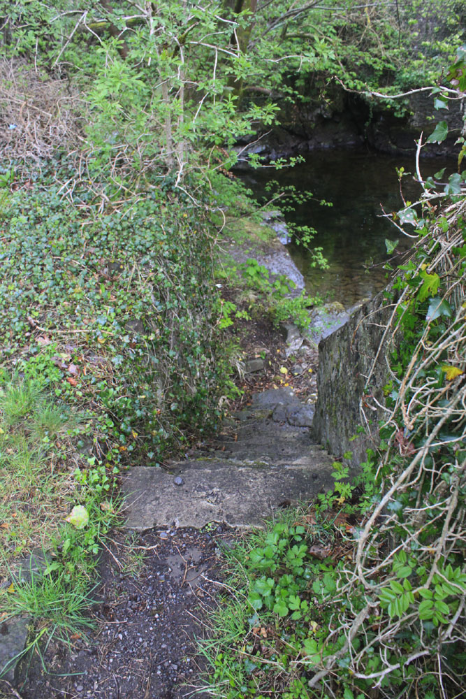
Starting the walk at the new Neuadd car park there is a
short cut to the road which takes you to the first reservoir, then
across the damn wall and straight up the mountain from there, I changed
the NT advised route here and forked off on the right hand path up the
gully to the cairn at the top which is shorter and one I was familiar
with. The ridge walk didn't
reveal the rising sun but I did have a sneaky view of a voluptuous moon
for about 10-15 seconds, she was in her full glory, beautiful and then
she was gone and I never saw her again. Although the clouds were
low the visibility wasn't too bad, about 100 metres and even in the dark
I could see well enough to pick out the safest route along the path and
with about 40 minutes to sunrise it would have been light enough to read
a book, if I'd brought my glasses that is. I
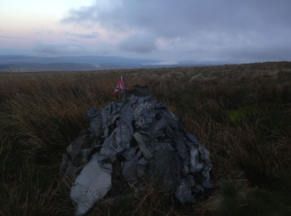
arrived at my first peak, Corn Du (873mts) at 5.10am then straight onto
Pen-y-Fan, I didn't hang around at the top because it was a bit windy
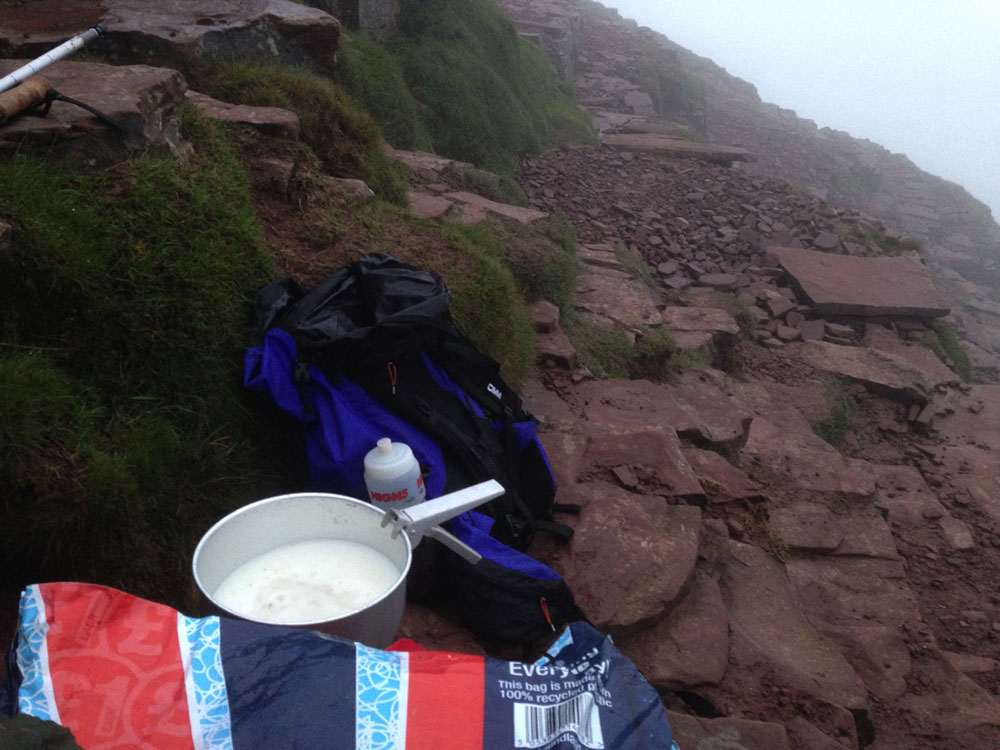
and the clag was down so I breakfasted just off the top out of the wind,
it was porridge near the point rather than on it. 
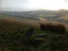
Down
the path towards Cribyn I went and the sun that had risen behind the
clouds while I was breakfasting poked it's head out for a few seconds
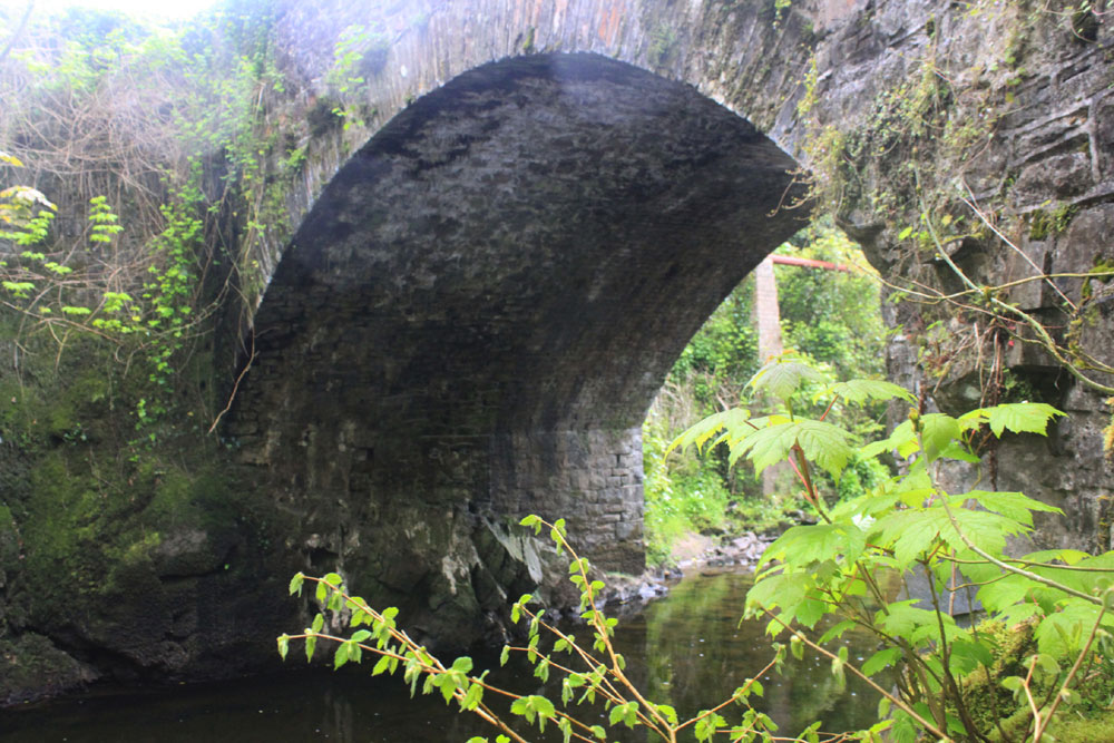
just in time for a nice pic of the 'Stairway to Heaven' with the top in
the clouds but my camera was broke !!! - The Pen-y-Fan trip does it
again, last time I left my zoom lens on the Graig Fan Ddu ridge, this
time the auto sensor on my Canon says NO (and it still says no) ! so the iphone is whipped
out for the Cribyn shot........... 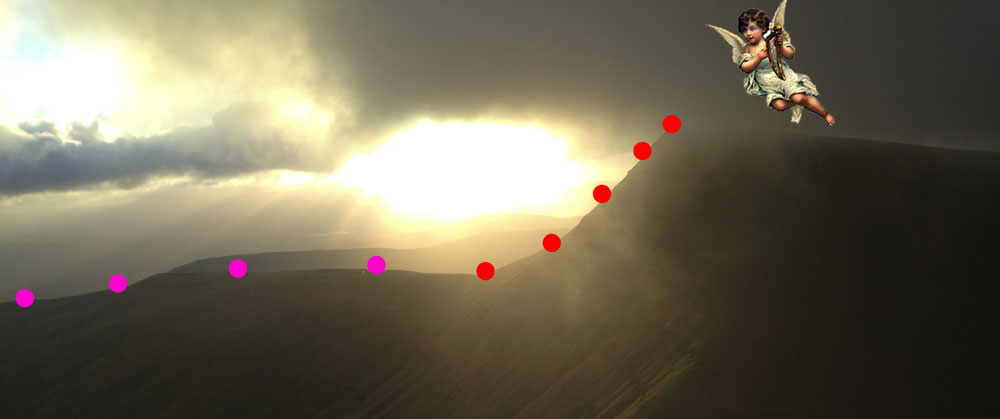
Just
a note about the 'Stairway to Heaven' taken of course from Led Zepplin's
song, the version I know bestest (Sandfields speak) is from the live album 'Song Remains the Same'.
( CLICK HERE for the live
version on Youtube) In the early days of my TA career we used to run a route from Pont-ar-Daf
car park that went to the top of Corn Du, then Pen-y-Fan, down and we'd
cut across the side of Cribyn to the top of Fan-y-Big and then we'd run
down the Fan-y-Big ridge and cut across the valley and up onto the
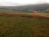
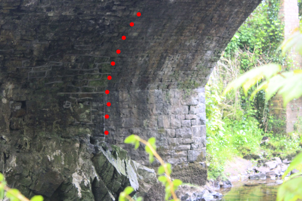
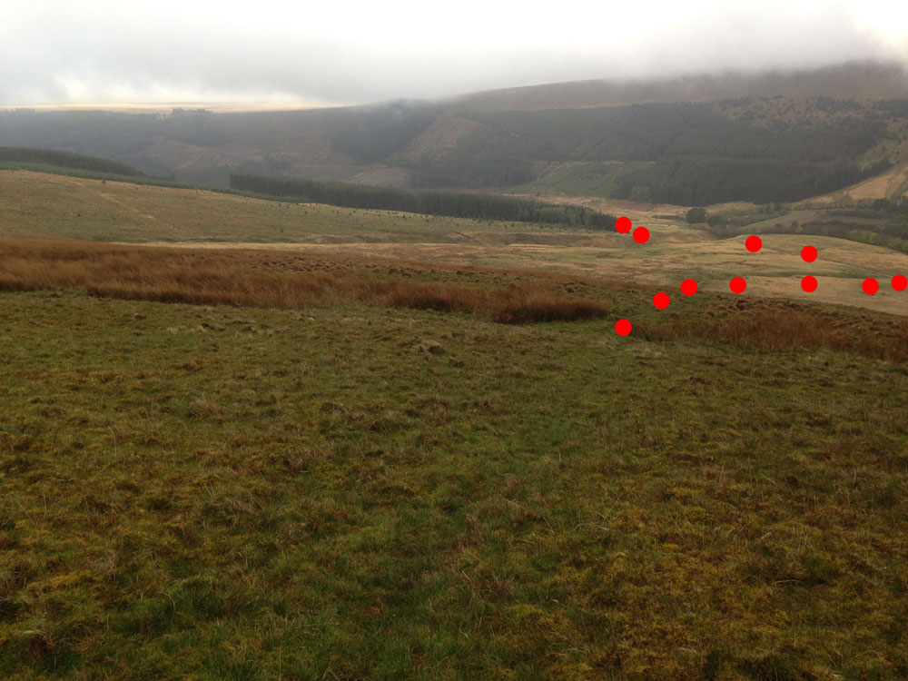
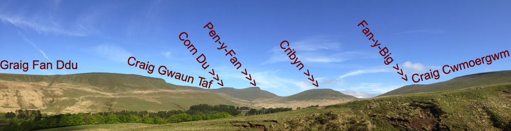
Cribyn ridge. We'd climb the ridge and onto the stairway, in the
illustration above it's where the pink turns to red. This is the
'Stairway to Heaven' because more often than not Cribyn would be in the
clouds and you could never see the top until you were on it and it's a
series of steps rather than a slope, just like a stairway....... and I
love it, no I LOVE IT. In my running days this was where I was at home
driving my legs through the pain barriers (yes, there's more than one)
to get to heaven first, I'm watching the 'Stairway' now on you tube and
Jimmy Paige is in his guitar solo and he's is one with his guitar, they
are together they are inseparable, his guitar is an extension of his
arms and after 2 and a bit hours on the mountains when we were climbing
the 'stairway' I was always felt as one with mountain, it became me and
I was it, I was the stairway, my legs and the steps were one. Years
later, with our new TA team, we'd transferred regiments from the RCT
(Royal Core of Transport) to the RRW (Royal Regiment of Wales), we used to do
the same run on boxing day. Firstly we would run the 5 mile road race in
Glynneath then drive straight to the Beacons and do the same course, then back to
Glynneath for a pastie & chips in the snooker hall. One year there
was about a foot of snow and we still managed the route in a respectable
time............. and when I die I'm having my ashes spread in several
important places and the stairway is one of them, one of the most
important. I can hear your clogs ticking over again, the remainder of
the route was just the quickest back to the car park, off Cribyn and up towards Pen-y-Fan and cut across to
Bwlch Duwynt missing out the top of P-y-F then straight back to
the car. Did you want more ? OK then sometimes we used to do this course
from Blaen Llia just up from Ystradfellte taking in the top of Fan Fawr
on the way over and on the way back. Happy now
? Just a short note about climbing the stairway, if you thought in
my running days I used to run it, think again because for me even if I
could have run it which is unlikely then walking would be faster. Back
to my walk, it went up Cribyn and down to the Roman Road, up Fan-y-Big
(719m) and onto Craig Cwmoergwm. The path split here..... 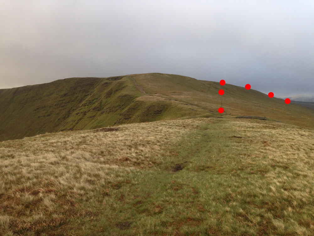
.....and
I took the right fork onto the ridge above Tor Glas, on the ridge I came
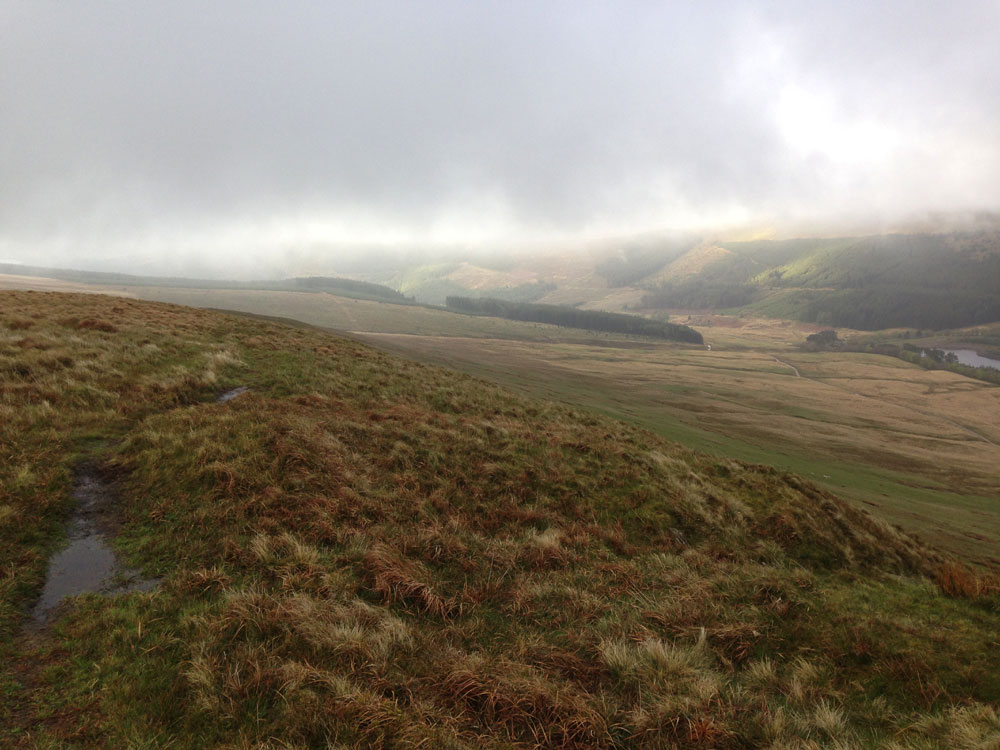
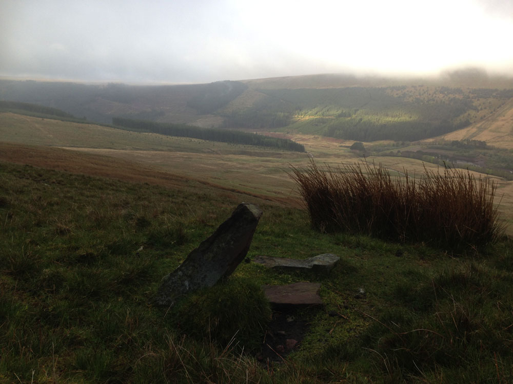
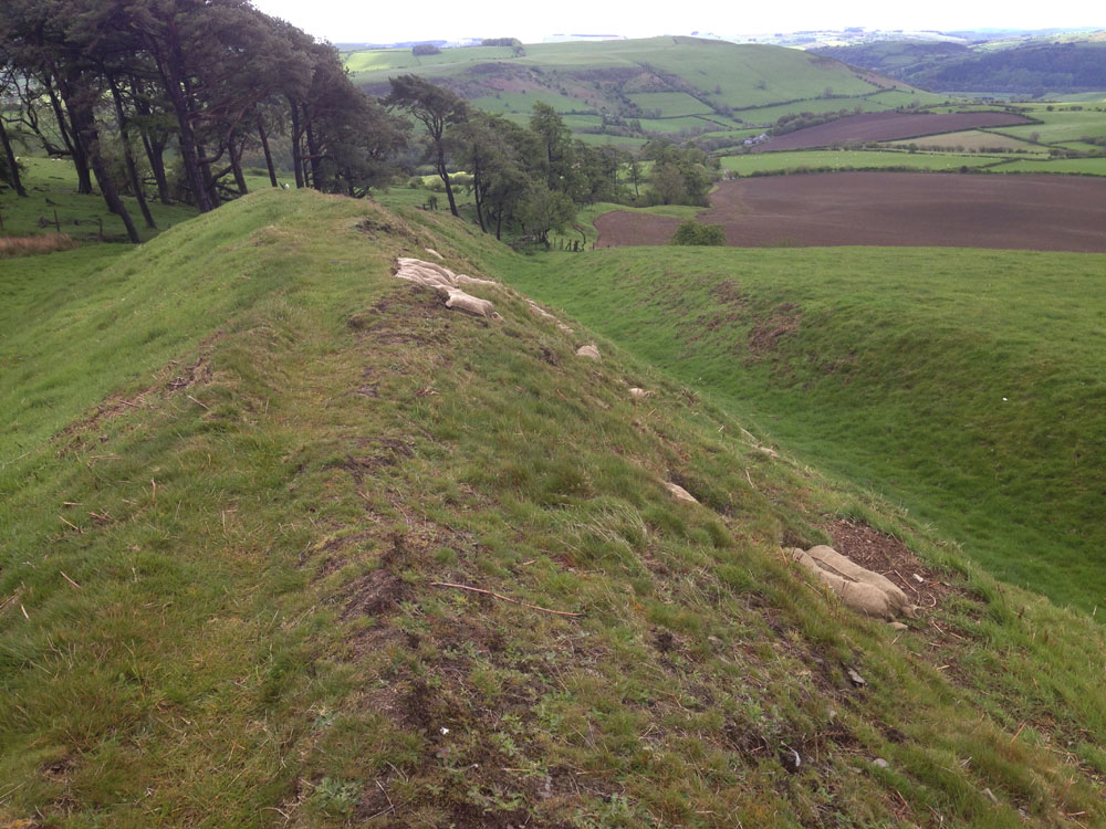
across an unusual stone marked GH, the main advantage of the ridge as
opposed to the Roman Road for heading back down the valley are the
views............ 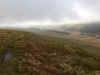
..............but
if the cloud base is below the ridge then the road would probably be the
best bet. I did have good views though so stuck on the ridge and when it
curled away to the left I headed on down a small track which took me to
the main path. I managed the round trip in 4 hours 18 including
breakfast and this was best I've felt on the mountains since breaking my
leg last year. I saw just one other person on the mountains, a guy from
Essex training for the Fan Dance event. The car park however was filling
rapidly when I got back, the bank holiday rush for the Beacons begins
again. |

 t
t