HOME  -  DAI'S BLOG HOME


Dai's walk around Wales blog - May 2019


4 May 2019 - Craig y Llyn ridge walk

07-walk.jpg (303006 bytes)

83.jpg (328666 bytes)

96-boots.jpg (292584 bytes)

Even though it was Star Wars day (May the fourth be with you) my son Simon and I decided it would be a good idea to test out his new Karrimor walking boots on the Craig y Llyn ridge. Parking at the Rhigos Mountain viewpoint car park we did a circular walk of around three miles following the ridge to a point above Llyn Fach, we then headed to the trig point via Cairn Fach (which we didn't find). Craig y Llyn is the highest point in the old county of Glamorgan. We visited the Willy Llewellyn memorial stone nearby before returning to the car park. The walk has stunning views of the Brecon Beacons National Park although it is a bit rough underfoot in places, especially above Llyn Fach.   

86.jpg (103964 bytes) 87.jpg (188348 bytes) 88.jpg (289980 bytes) 89.jpg (381253 bytes) 90.jpg (516614 bytes) 93.jpg (514293 bytes)
Fan Hir ridge in the distance Pen y Fan & Corn Du on the far left Llyn Fach below hunting for a track  This isn't a cairn but its the closest we got to finding Cairn Fach Simon - the highest person in Glamorgan
 
91.jpg (195344 bytes) 95-willie.jpg (813950 bytes) 84.jpg (385514 bytes) 85.jpg (252965 bytes) 75.jpg (675499 bytes)

98.jpg (689178 bytes)

99.jpg (161981 bytes)
Dai's impression of a wind turbine Willy Llewellyn memorial Bill (right) & Billerina (LEFT) The Mrs standing in front of our garage door a bunch of daffs in the middle of nowhere top daffodil of the bunch 


6 May 2019 - early morning ride

Continuing the theme of long rides I got out this morning on the canal and once again was treated to my favourite smell as I headed down the Neath Canal, wild garlic. 

74-wild-garlic-canal.jpg (531229 bytes) 77.jpg (356534 bytes)

After a trip down memory lane riding over the Bwlch Road from Cimla into Cwmafan I headed down the beach where the tide was in and the sea was nice and calm.


21 May 2019

13.jpg (391536 bytes) 12.jpg (541858 bytes) 15.jpg (424067 bytes) 14.jpg (432178 bytes)

I headed down the coastal path for the ferry bend at low tide when my eagle eyes spied an interesting home made sign made by a 'conscientious dog walker'. He or she had a fair point, one of today's regular sights while walking is the bag of doggy poo tied neatly by the side of a path. The sign read

"Dog Walkers - There are some dog walkers bagging their dog mess and leaving it on the coastal path !! It takes years for this to decompose. Please if you take the time to bag your dog mess then bin it too. signed - concientous dog walker. 

.......and the giant daisies were in full flower as well. 


22 May 2019

I took a stroll on Aberavon Beach at sunset and met two youngsters who had built fire, I brought them a log offering and had a chat with them about life, the universe and everything. They had ridden down the beach but the incoming tide was forcing them to trudge over the sand dunes to the coast path and the freedom of tarmac or face a one mile push up the beach through the soft sand or wait another couple of hours for the tide to roll back and reveal the hard sand. Neither of the first two options were ideal for them so we solved more universal problems. I passed on the camera for the guys to record me and the moment and how great my hair was looking. I'm the guy with the sticky up hair on the right of one of the fire photos and I must say it got a little warm there too. 


24-ab-beach.jpg (221101 bytes) 23.jpg (283370 bytes) 22.jpg (140484 bytes) 21.jpg (126056 bytes) 20.jpg (134895 bytes) 19.jpg (147811 bytes) 18.jpg (83662 bytes) 17.jpg (110980 bytes) 16.jpg (114473 bytes)


23 May 2019 - HW NPT Tour - Walks 29 & 30

I'd marked two courses of approximately 5 miles each for the next two legs on St Illtyd's walk and they overlapped slightly so I doubled up and did them together. Having cycled this area extensively I knew a lot of the walk already so kept moving without too many stops. Starting in Abercregan, I took a 
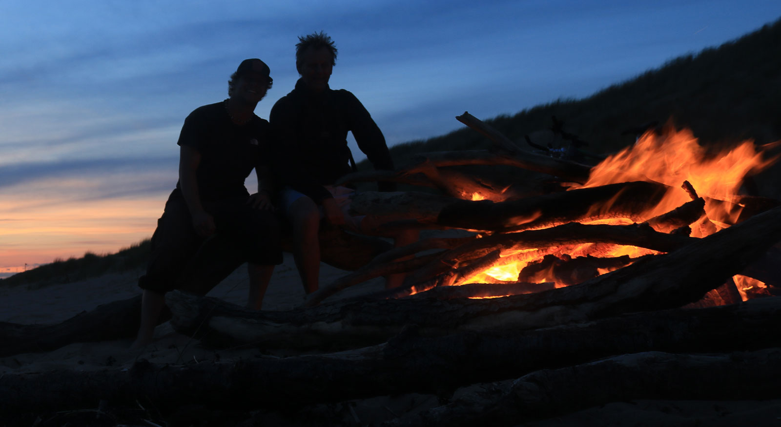
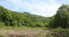
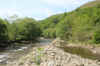
quick detour for my first point of interest and followed the path down to the old Abercregan football field next to the River Afan. It was here that I played my first ever organised football (Association) match for the Bay View Under 13s against Abercregan Boys Club. I was 8 at the time and not even the youngest member of the team. Mark Hamer was only 7, we played in claret and blue, the Burnley colours. The opposition who were mostly 11 and 12 year olds towered above us and we were thrashed 9-1. The only thing I remember about the match apart from the location is that the balls kept getting kicked into the river and there were blokes with nets ready to 
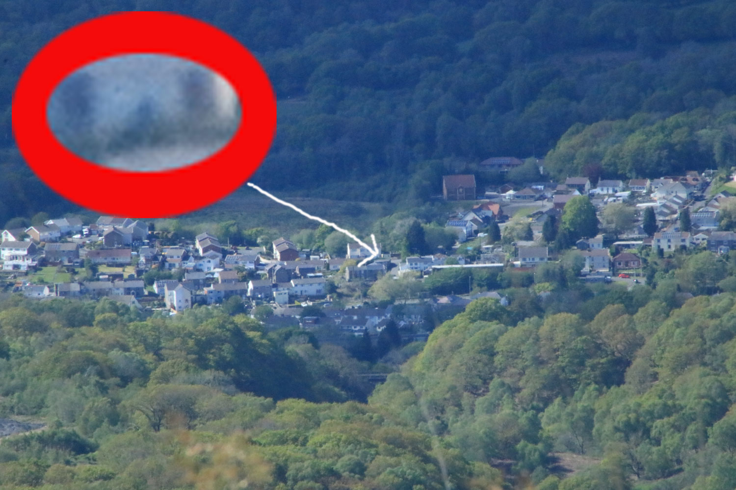
catch the balls as they travelled down the river. The field looks to be disused now and if you look the photo of the field without the scraggly guy in it you'll see a set of training floodlights to the right that also look like they've seen better days.
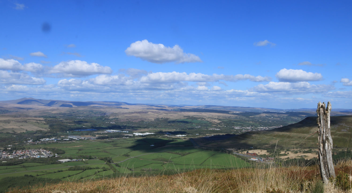
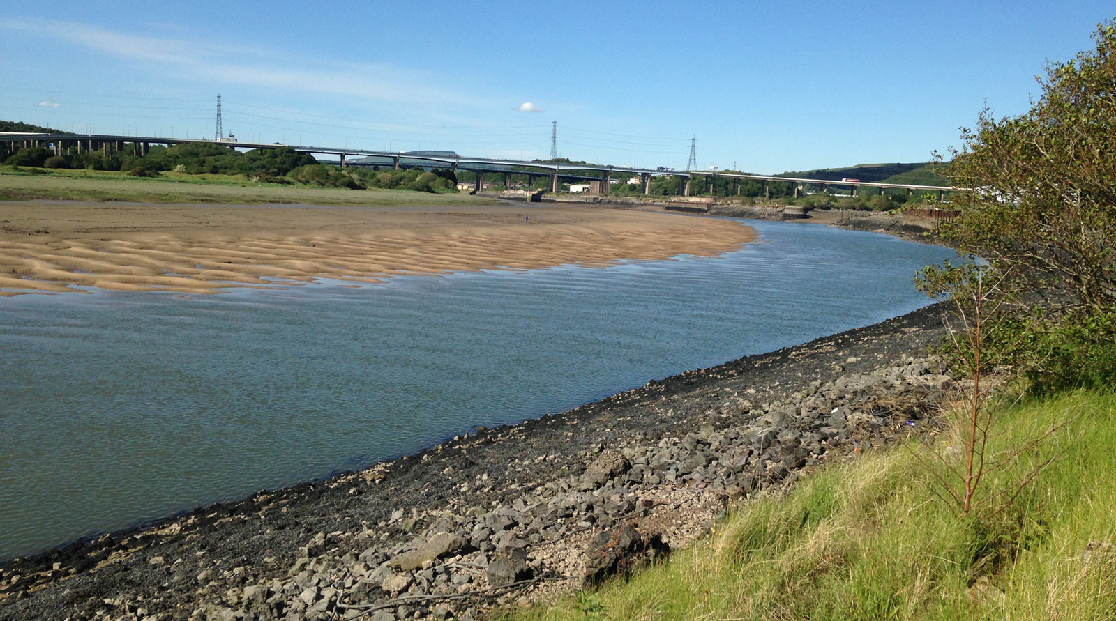
73-abercregan-football-fiel.jpg (343738 bytes) 65-football-field.jpg (388167 bytes) 69-river-afan.jpg (498052 bytes)

From Abercregan I headed down to the Afan Argoed visitor centre on the main forestry road, the sporting memories continued to flow through my mind, this was part of the Cymmer off road triathlon which I won three times. The visitor centre was the end point of the last walk so it was a quick 180 degree turn as I headed onto the St Illtyd's walk and joined the line of the tour. St Illtyd's is marked only on the map at this point and I didn't see a walk signpost/marker for at least 3-4 miles into the 
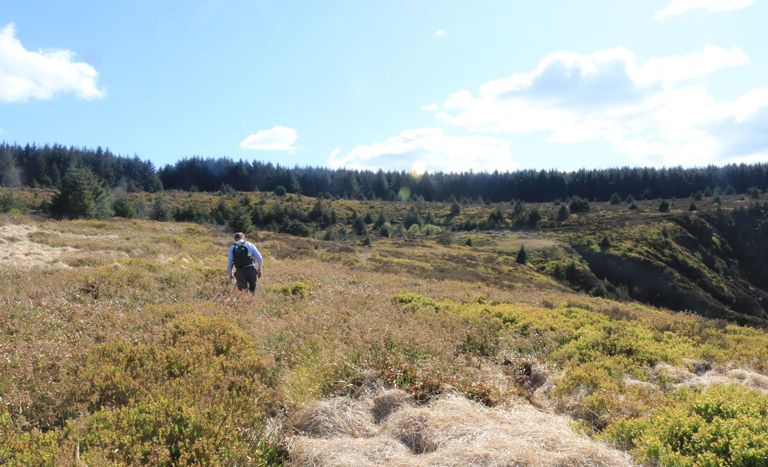
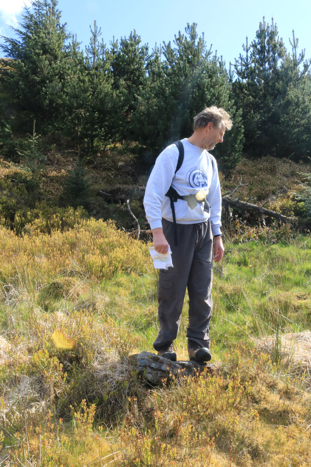
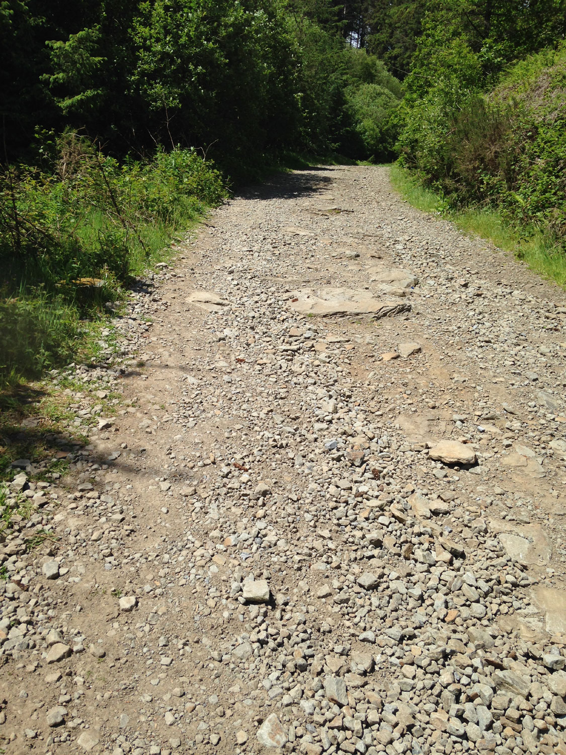
walk. There were quite a few turns and with de-forestation happening too my local knowledge helped big time when reading the map. There are many 
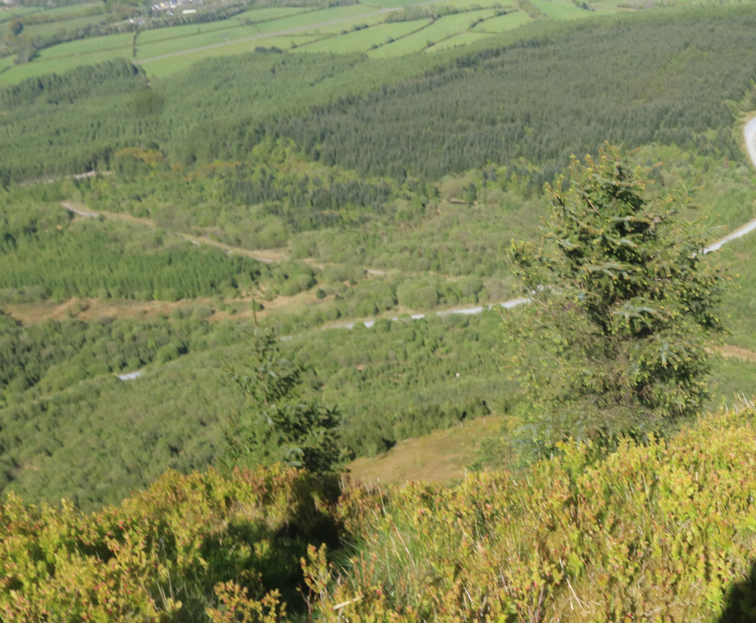
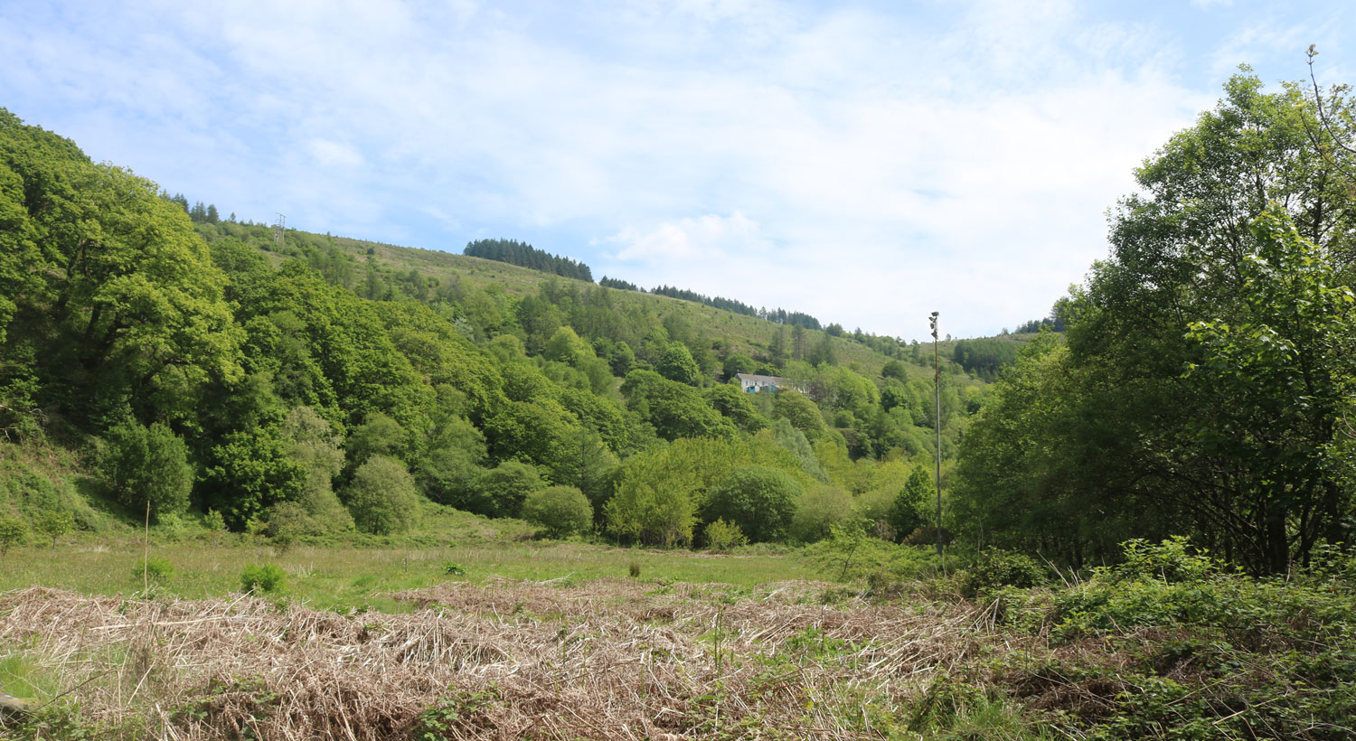
mountain bike trails crossing the walk, most notably the Wall which traverses Mynydd Nant-y-bar. I believe the trail gets its name from the climb on St Illtyd's walk up to the Bryn Bettws lodge. Before the trails were built circa 1990 I did a National Series mountain bike event here 
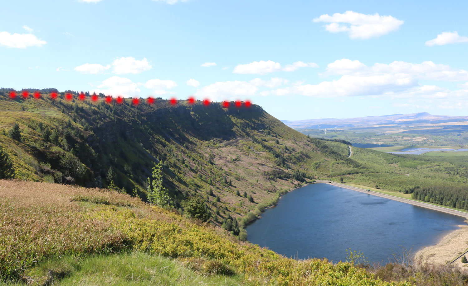
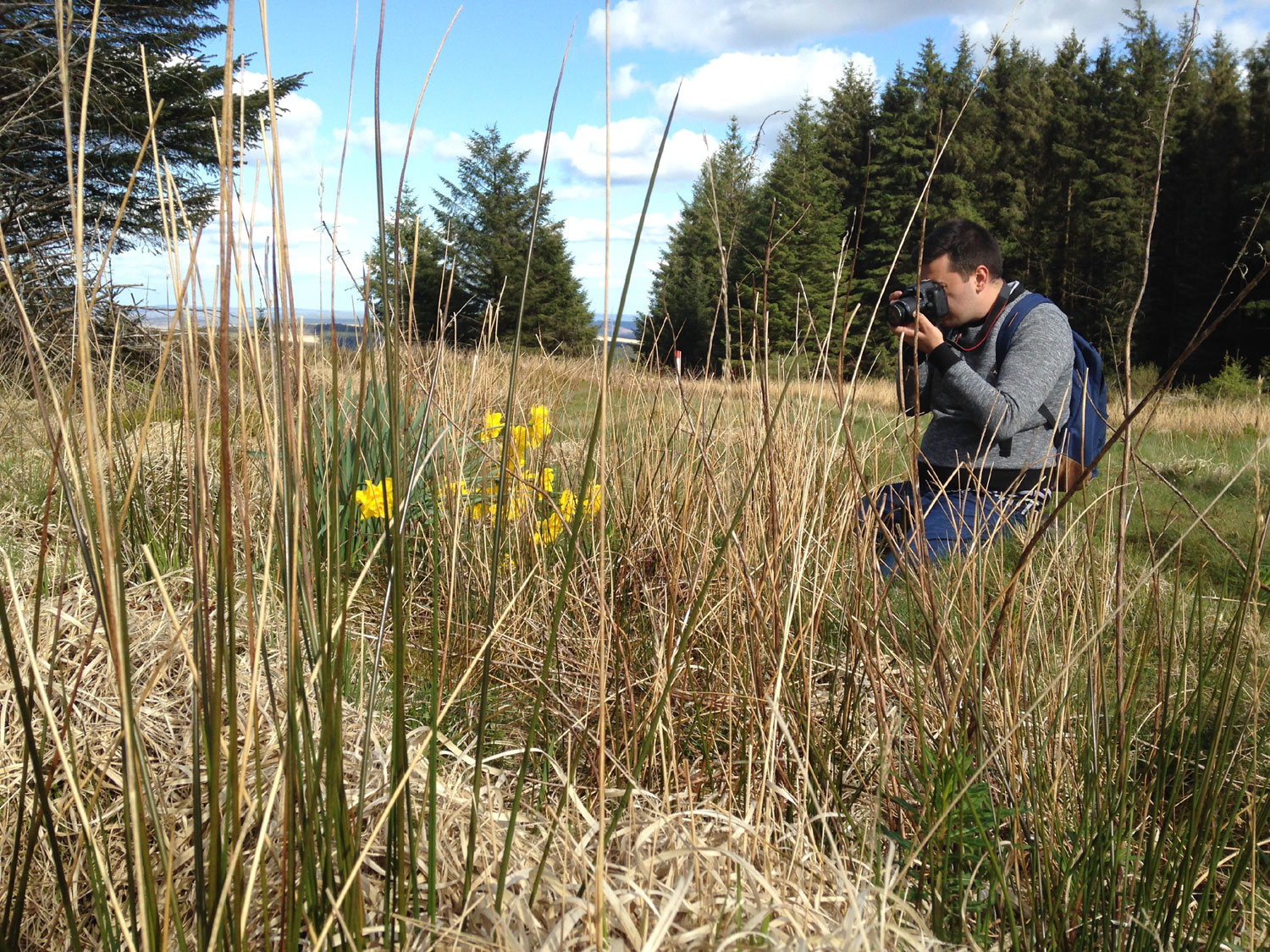
and this climb was referred to as the wall. The photo below doesn't show the gradient very well but its a good one, a lung buster.
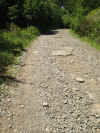
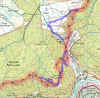
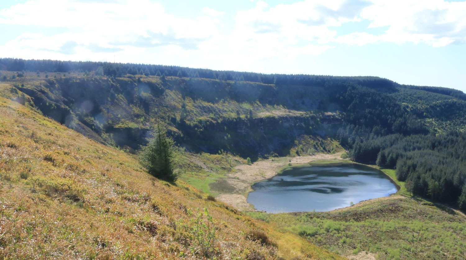
64-the-wall.jpg (727617 bytes) 63-route.jpg (521174 bytes)

Travelling into Cwn Cregan the course on the map looked a bit dodgy (off the paths down a step descent) so I followed my nose on the paths and an unmarked scrambler track until  the walk signs started to appear (for the first time). I followed the signs to Troed - y - Rhiw where the signs went up the left hand valley and the path on the map up the right 
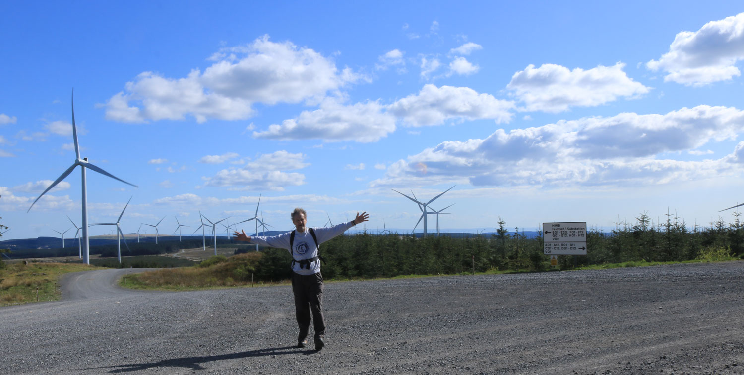
valley. Left looked best so I followed the signs to the foot of the wind farm and then navigated to Blaen Cregan. This sets me up nicely for the next leg from Resolven. I headed back down to the car. Interestingly I passed another two St Illtyd's signs giving another two route options, the first was the right hand valley, this route would have been quite a bit shorter and it would be nice to know if it is easily navigable as per the map, the second sign was on my loop and way off the course from the one marked on the map. Total time approx 4.5 hours, distance approx 10 miles.

CLICK HERE FOR PREVIOUS WALKS ON THIS TOUR

CLICK HERE FOR ST ILLTYD'S WALK INFO


CLICK HERE FOR APRIL 2019 BLOG

CLICK HERE FOR JUNE 2019 BLOG


Search the website with Google


HOME  -  DAI'S BLOG HOME


PLEASE VISIT OUR OTHER WEBSITES - www.rugbyrelics.com  -  www.world-rugby-museum.com  -  www.personal-trainer-wales.com  -  www.origin-of-sport.com  -  www.a-better.wales  -  www.dai-richards.wales  


May 2019


May 2019

May 2019

May 2019

May 2019